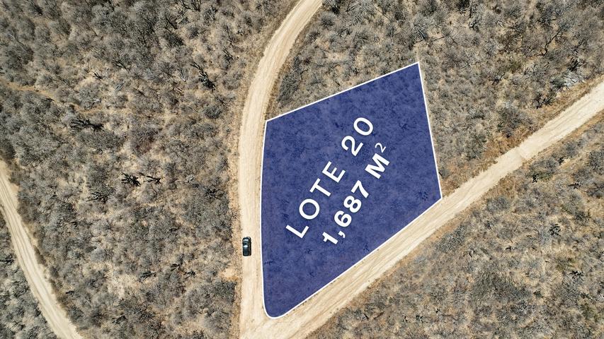
Rising over 140 meters above sea level minutes from downtown Todos Santos, this 100,000-square-meter parcel commands expansive sightlines across the Pacific Ocean and the Sierra de la Laguna mountains. With immediate access to the Todos Santos-La Paz highway, the property sits directly within the municipal framework for urban expansion, holding a primary urban designation paired with a secondary Reserva Territorial Urbana classification.
A shared boundary with land designated as Aprovechamiento Paisajístico restricts large-scale infrastructure, establishing a permanent ecological buffer. The result is a measured balance: close alignment with regional growth, insulated by protected open space. The natural contours readily accommodate hiking and biking trails, allowing the topography to
$ 700,000 USD


- Todos Santos Nth-Gen Pacific
- Location:
- Pacific
- Address:
- La Tinaja 0004, La Tinaja 0004, Pacific, Todos Santos Nth-Gen
- Primary View
Mountain - Secondary View
- Property type
Land
Property Map

Properties you might like

$ 219,000.00 USD
LOTE TODOS SANTOS 12ML
- Pacific

$ 361,000.00 USD
El Lote
- Cabo San Lucas